Old Spanish Trail 1829-1850 is Nevada State Historic Marker Number 33, located in the town of Blue Diamond, in Clark County, Nevada.

The Old Spanish Trail is a 700 mile long historical trade route that connected the northern New Mexico settlements near Santa Fe, New Mexico with those of Los Angeles, California. The trail’s rugged terrain discouraged the use of wagons. It was always a pack route, mainly used by men and mules.
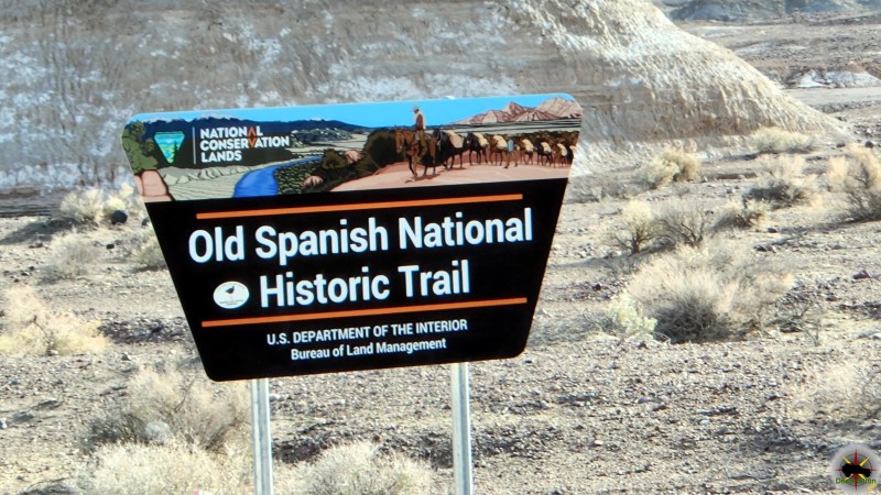
The routes and trails link California, Nevada, Arizona, Utah and Colorado. The Old Spanish Trail consists of a series and different trails and routes some of which are in service today.
Nevada State Historical Markers identify significant places of interest in Nevada’s history. The Nevada State Legislature started the program in 1967 to bring the state’s heritage to the public’s attention with on-site markers. Budget cuts to the program caused the program to become dormant in 2009. Many of the markers are lost of damaged.
Nevada State Historic Marker Text
The Old Spanish Trail 1829-1850
Stretching for 130 miles across Clark County, this historic horse trail became Nevada’s first route of commerce in 1829 when trade was initiated between Santa Fe and Los Angeles. The trail was later used by the wagons of the “49ers” and by Mormon pioneers. Concrete posts marking the trail were erected in 1965.
NEVADA STATE HISTORICAL MARKER No. 33
Nevada State Historic Marker Summary
| Name | Old Spanish Trail 1829-1850 |
| Location | Blue Diamond, Clark County, Nevada |
| Nevada State Historic Marker | 33 |
| Latitude, Longitude | 36.0469, -115.4062 |
Nevada State Historic Marker Location
This Nevada State Historic Marker can be found by exiting Highway 159 in Red Rock Canyon at Castilla Street into Blue Diamond. Followed the road past the baseball diamond and turn left onto Diamond Street. The marker is located near to corner of Village Street and Diamon Street next to the Village Marker convenience Store.