Willow Springs Road offers a rugged, scenic route into the western edge of Arches National Park, providing a quieter, less-traveled alternative to the park’s main entrance. Stretching approximately 7.9 miles from Highway 191 to its terminus at Balanced Rock on the park’s paved road, this dirt and slickrock trail is a backdoor adventure best suited for high-clearance 4WD vehicles, mountain bikes, or determined hikers. The trail winds through a starkly beautiful desert landscape, flanked by sandstone fins, scattered boulders, and distant views of iconic formations like the Windows Section and La Sal Mountains.

Highlights include dinosaur tracks preserved in the rock, expansive vistas of the park’s backcountry, and a sense of solitude rare in this popular park. The trail is rated as easy to moderate for 4WD vehicles and bikes, with challenges like sandy washes, small rock ledges, and occasional washboard sections. Hikers face a longer, exposed journey, with no shade and minimal elevation gain (approximately 500 feet). The trail takes about 30-45 minutes by vehicle or 2-3 hours by bike, with hiking times varying based on pace and stops.
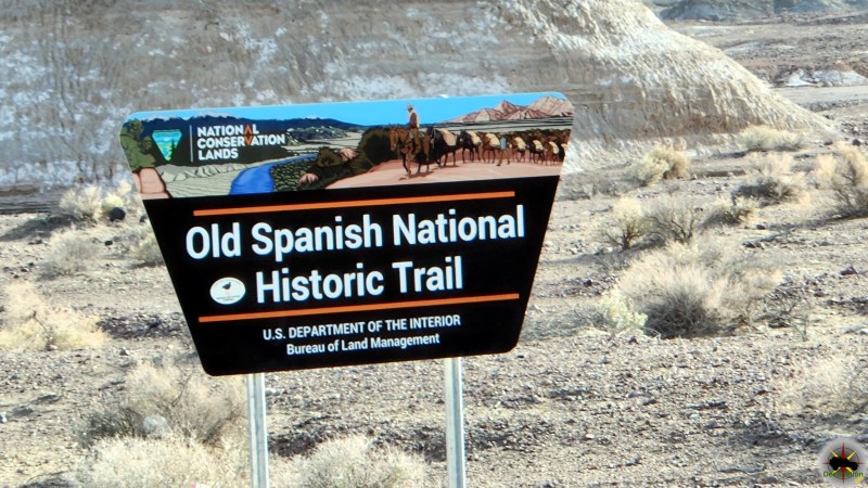
Starting from Highway 191, about 11.5 miles north of Moab (near milepost 138.6), the trailhead is marked by a sign for Willow Springs Road. The first 3.8 miles traverse UtahRaptor State Park (formerly BLM land), passing dispersed camping areas and the Klonzo Trail System, popular for mountain biking. A large sign marks the Arches National Park boundary, where park rules apply, including a required entrance fee (payable at the main entrance or online at recreation.gov). From here, the road narrows, becoming rougher with sandy and rocky sections, and continues 4 miles to Balanced Rock. A notable stop at 3.5 miles from Highway 191 is the dinosaur track site, where well-marked theropod (raptor-like) and sauropod (brontosaurus-like) footprints, dating back 165 million years, are preserved in the Entrada Sandstone. The trail ends at a paved junction, offering access to park highlights like the Windows Section and Double Arch.
Trail Details
- Length: 7.9 miles one-way (15.8 miles round-trip if returning to Highway 191).
- Difficulty: Easy to moderate for 4WD vehicles and mountain bikes; moderate for hikers due to distance and exposure.
- Elevation Gain: Approximately 500 feet, with gentle undulations.
- Terrain: Dirt, gravel, slickrock, sandy washes, small rock ledges, and washboard sections. High-clearance 4WD required beyond the park boundary; 2WD vehicles can manage the first 3.8 miles to the boundary with caution.
- Access: From Highway 191, turn east onto Willow Springs Road (38.696712, -109.698675). No pay booth at this entrance; park fees apply upon exiting or via online purchase. Timed entry reservations are required April 1–October 31, 2025.
- Features: Dinosaur tracks at 3.5 miles, scenic views of sandstone formations, access to Balanced Rock, and a quiet alternative to the main park entrance.
- Challenges: Deep sand and rocky sections require careful navigation for vehicles; hikers face long exposure with no shade. Flash flooding is possible in washes after heavy rain. OHVs and ATVs are prohibited in the park.
- Amenities: Porta-potties and a vault toilet near the trailhead in UtahRaptor State Park; picnic table and outhouses near Balanced Rock. No water is available, so bring plenty.
Trail Map
Hiking and Biking Notes
For hikers, the full 7.9-mile one-way trek to Balanced Rock is a long, exposed journey best undertaken in cooler months (March–November preferred). The trail follows the road, offering firm footing on dirt and slickrock but no dedicated path. Mountain bikers find the route rewarding for its mix of hard-packed rock and sandy challenges, with stunning views of the park’s formations. Bikers should expect to dismount in deep sand sections and yield to vehicles. Both hikers and bikers should carry ample water, sunscreen, and navigation tools, as cell coverage is spotty near the park boundary. The dinosaur tracks are a must-see, marked by an interpretive sign and a short walk on slickrock.
History and Significance
Willow Springs Road has long served as a lesser-known gateway to Arches National Park, historically used by locals and adventurers seeking to bypass the main entrance’s crowds and toll booth. Its significance lies in its access to the park’s quieter western backcountry, offering a raw, unfiltered experience of the desert landscape. The road’s path through what is now UtahRaptor State Park (established in 2021) connects to a region rich in geologic and paleontological history. The dinosaur tracks, dating to the Jurassic period, highlight the area’s ancient past, when the region was a muddy floodplain roamed by theropods and sauropods. These well-preserved footprints, discovered along the road, are a testament to the area’s significance as a paleontological treasure trove.
Historically, the road was part of a broader network used by ranchers and early explorers, with remnants like an old shed and corral near Willow Springs Canyon hinting at past human activity. The area around Willow Springs was also a corridor for Native American migration routes, with nearby rock art sites, such as petroglyphs and pictographs, suggesting cultural significance for the Anasazi and other Indigenous groups. The road’s proximity to the Klonzo Trail System and its former status as BLM land made it a hub for dispersed camping until recent changes introduced fees and regulations under UtahRaptor State Park management. Its role as a “secret entrance” has made it a favorite among off-roaders and cyclists, though park regulations now emphasize responsible use to protect the fragile desert ecosystem, including cryptobiotic soil.
Willow Springs Road remains a unique portal to Arches, blending adventure, solitude, and a glimpse into the deep geologic and cultural history of the region, making it a cherished route for those seeking an unconventional park experience.