The Wild Mustang (Equus caballus), an enduring symbol of the American frontier, roams the vast, arid expanses of the desert southwest United States as a feral horse population descended from domesticated Spanish horses introduced in the 16th century. These hardy equines, often romanticized in folklore and media, have adapted through natural selection to survive in harsh environments, exhibiting remarkable resilience amid sparse resources and extreme conditions. With populations managed by the U.S. Bureau of Land Management (BLM) to balance ecological sustainability, mustangs embody a complex interplay of history, biology, and conservation in regions like Nevada, Arizona, and New Mexico.

Classification
The Wild Mustang is classified within the kingdom Animalia, phylum Chordata, class Mammalia, order Perissodactyla, family Equidae, genus Equus, and species caballus. Though often referred to as “wild,” mustangs are technically feral horses, descendants of domesticated equines rather than a truly wild subspecies like the extinct North American horses that evolved on the continent millions of years ago. Their ancestry traces primarily to Colonial Spanish horses from the Iberian Peninsula, with mitochondrial DNA studies confirming high frequencies of Iberian haplotypes, though admixtures from other breeds like Thoroughbreds, Quarter Horses, and drafts have occurred over time. Distinct strains, such as the Spanish Mustang or Kiger Mustang, retain stronger Spanish bloodlines, while isolated herds in the desert southwest may exhibit unique genetic traits shaped by geographic separation and natural selection.
Physical Description
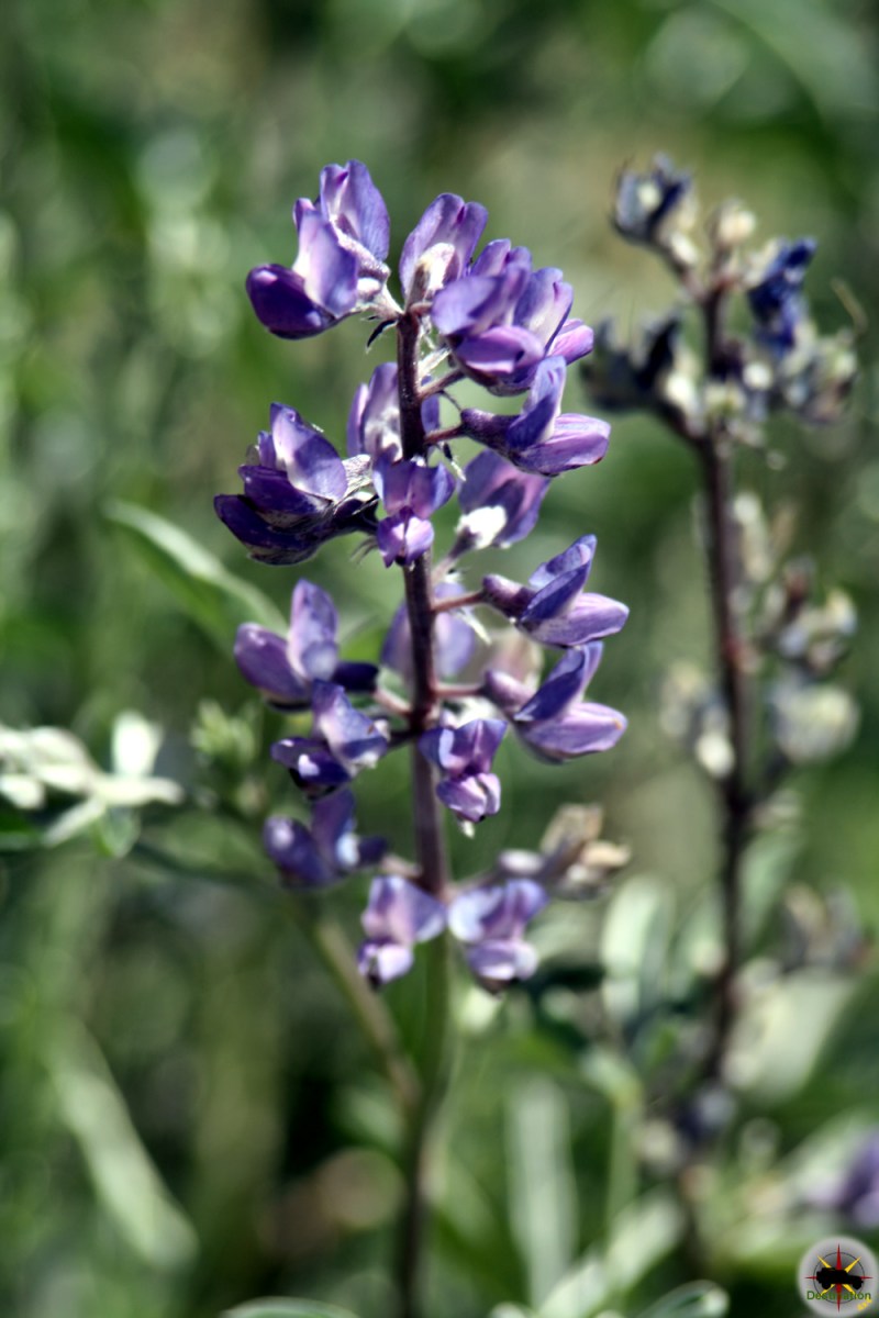
Mustangs are compact, medium-sized horses, typically standing 14 to 15 hands high (56 to 60 inches or 142 to 152 cm at the withers) and weighing around 800 pounds (360 kg). They possess a light-riding build with muscular bodies, strong bone structure, and exceptional hardiness, featuring flat or slightly convex head profiles, broad foreheads tapering to fine muzzles, and eyes set slightly higher on the face. Necks are well-defined and attach smoothly to sloping shoulders, with moderately narrow chests, short strong backs, deep heart girths, well-sprung ribs, and smooth round hindquarters. Legs are straight and sound, supported by durable hooves with thick walls, ideal for rugged terrain. Coat colors vary widely, including bay, sorrel, dun, appaloosa, paint patterns, and primitive markings like stripes, though some registries exclude certain patterns like tobiano. Movement is smooth and rhythmic, with the ability to gallop at 25–30 mph (40–48 km/h), and up to 55 mph (88 km/h) in short bursts. In the desert southwest, natural selection favors traits like surefootedness, endurance, and agility for navigating arid landscapes.
Behavior
Wild mustangs are social animals that form structured groups known as bands or herds, typically comprising one dominant stallion (over 6 years old), around eight mares, and their young, led by a head mare who guides the group to safety in threats while the stallion defends from behind. Stallion leadership is dynamic, with challenges from rivals promoting genetic diversity. Communication relies on body language, such as ear positioning, tail swishing, and vocalizations, to convey emotions and maintain hierarchy. They exhibit intelligence, curiosity, and a strong fight-or-flight response honed by survival in harsh environments, making them cautious yet resilient. In the desert southwest, mustangs travel long distances for resources, adapting foraging strategies and mixing with other herds during dangers. Isolated populations may show unique behaviors, like gaited movements or curly coats in Nevada herds, influenced by genetic admixtures. Without significant predators, populations can grow rapidly, leading to overgrazing if unmanaged.

Food Sources
As herbivores and hindgut fermenters, mustangs primarily consume grasses, brush, shrubs, and other native vegetation, extracting nutrients from low-quality forage via their cecum—a adaptation allowing survival in arid regions where ruminants like cattle struggle. In the desert southwest, they graze close to the ground on sparse plants, ranging 5–10 times farther than cattle to access food and water, often digging for hydration in dry areas. Their diet requires about 1.5 animal units (AUM) of forage, focusing on soluble fiber while avoiding excess sugars to prevent digestive issues. An average mustang needs around 16 pounds of grass daily, supplemented by minerals and salts in harsh environments. This opportunistic foraging supports their easy-keeper nature, enabling them to thrive on limited resources in deserts and grasslands.
Breeding
Mustangs are viviparous, with mares carrying foals for an 11-month gestation period, typically giving birth in spring (April to June) to align with milder weather and abundant forage for growth. Breeding occurs within isolated herds, where dominant stallions mate with mares, and dynamic challenges ensure genetic diversity, though inbreeding in small populations can lead to issues like reduced heterozygosity and diseases such as PSSM Type 1. Unmanaged herds can grow by up to 20% annually, prompting BLM interventions like fertility control to prevent overpopulation and starvation. Foals are born precocial, able to stand and nurse shortly after birth, and remain with the herd for protection. In the desert southwest, breeding success ties to resource availability, with natural selection favoring resilient offspring in arid conditions. Lifespans in the wild reach up to 36 years, shorter than in captivity.

Habitat and Range
Wild mustangs inhabit arid and semiarid public rangelands west of the Continental Divide, including deserts, grasslands, and mountainous terrains, where they adapt to extreme temperatures, scarce water, and sparse vegetation. In the desert southwest United States, populations thrive in states like Nevada (hosting over half of North America’s free-roaming mustangs), Arizona, New Mexico, Utah, and California, managed across 26.9 million acres in Herd Management Areas (HMAs) by the BLM. These areas encompass ecosystems from the Great Basin to the Colorado Plateau, with herds digging for water and migrating seasonally for forage. Total free-roaming numbers exceed 72,000, protected under the 1971 Wild Free-Roaming Horses and Burros Act as living symbols of the West, though overpopulation challenges lead to roundups and adoptions.