James Hervey Simpson (1813–1883) was a U.S. Army topographical engineer whose 1859 survey of the Central Route across the Great Basin, including White Pine County, Nevada, facilitated mail, stage, and telegraph lines, laying the groundwork for the region’s mining development.

Early Life and Military Beginnings (1813–1838)
James Hervey Simpson was born on March 9, 1813, in New Brunswick, New Jersey, to John Simpson and Mary Brunson. He graduated from the United States Military Academy at West Point in 1832, ranking 27th in his class, and was commissioned as a second lieutenant in the 3rd U.S. Artillery. Simpson served in the Second Seminole War in Florida, earning a promotion to first lieutenant in 1837. In 1838, he transferred to the newly formed U.S. Army Corps of Topographical Engineers, a specialized unit tasked with mapping and infrastructure development, setting the stage for his later contributions in the American West.
Early Western Expeditions (1849–1858)
Simpson’s first major Western expedition came in 1849, when he surveyed a road from Fort Smith, Arkansas, to Santa Fe, New Mexico, under Colonel John James Abert. During this expedition, he also participated in a punitive raid against the Navajo, collaborating with artists Edward and Richard Kern to document the journey through watercolors, oils, and maps. From 1849 to 1850, he served as Chief Topographical Engineer for the Ninth Military Department in Santa Fe. After a six-month sick leave, Simpson was assigned to Minnesota from 1851 to 1856, overseeing road improvements, and was promoted to captain in 1853. Between 1856 and 1858, he worked on coastal surveys in Florida, honing his skills in precise mapping and engineering.
Exploration of White Pine County and the Central Route (1858–1859)
Simpson’s most significant contribution to White Pine County, Nevada, occurred during his 1858–1859 expedition to survey a wagon road across the Great Basin, known as the Central Route. Ordered to support the Utah War, Simpson arrived at Camp Floyd, Utah, in August 1858. On October 19, he began a preliminary reconnaissance into the Great Salt Lake Desert, followed by a major expedition starting May 2, 1859, with 64 men, including photographer Samuel C. Mills, who produced some of the earliest photographs of the region’s features. The expedition aimed to establish a shorter, more efficient route from Camp Floyd to Fort Bridger and onward to California, passing through what would later become White Pine County.
Simpson’s Central Route traversed the Great Basin, including areas near present-day Ely, Nevada, and mapped key landmarks such as the Simpson Park Mountains, named in his honor. His meticulous surveys identified water sources, grazing areas, and viable paths, making the route viable for mail, freight, and passenger transport. In White Pine County, the route crossed the Egan Range and Steptoe Valley, areas later integral to the region’s mining economy. The 1859 Report of Explorations across the Great Basin, published in 1876, detailed his findings, including geological observations, topographical maps, and notes on Native American tribes. This work established the Central Route as a critical artery, adopted by George Chorpenning’s mail and stage line, the Pony Express in 1860, and the Transcontinental Telegraph in 1861, until the Transcontinental Railroad rendered it obsolete in 1869.
Role in White Pine County’s Development
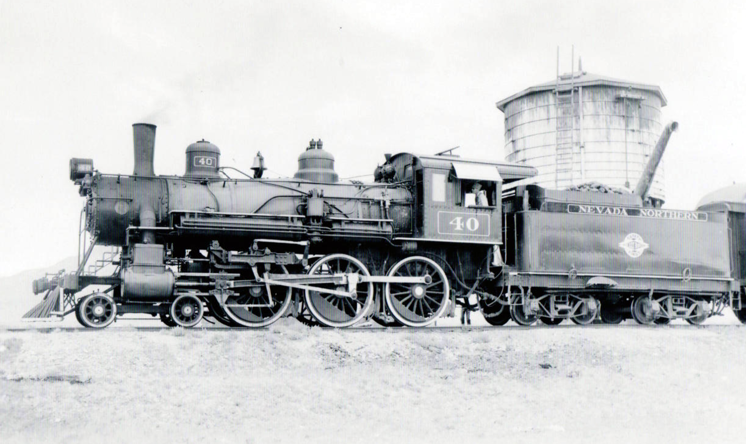
While Simpson’s work predated the major mining booms in White Pine County (e.g., Ward in 1872, Taylor in 1873, and Osceola in 1872, as noted in prior conversations), his Central Route laid the groundwork for later economic development. The route facilitated access to the region, enabling prospectors and settlers to reach the remote mining districts. The Simpson Springs Pony Express Station, located in Utah but part of his surveyed path, underscores his influence on regional connectivity. His surveys also provided early documentation of White Pine County’s terrain, which later supported the Nevada Northern Railway’s expansion under Mark Requa (as discussed in prior conversation), connecting Ely’s copper mines to national markets after 1906.
Civil War and Later Career (1861–1883)
During the Civil War, Simpson served as colonel of the 4th New Jersey Volunteer Infantry and was captured at the Battle of Gaines’s Mill in 1862. After being paroled, he resigned his volunteer commission and reverted to his regular rank of major in the Corps of Topographical Engineers. He was assigned to the Department of the Ohio, overseeing fortifications in Cincinnati. In 1865, he was brevetted lieutenant colonel and colonel for meritorious service. After the war, Simpson was promoted to major in 1863 and served as chief engineer of the Interior Department, overseeing infrastructure projects, including aspects of the Transcontinental Railroad’s construction, which ultimately superseded his Central Route. He retired to St. Paul, Minnesota, in 1880 and died there on March 2, 1883, at age 69.
Legacy in White Pine County
Simpson’s legacy in White Pine County lies in his pioneering survey of the Central Route, which enhanced accessibility and set the stage for the region’s mining boom. The Simpson Park Mountains in central Nevada, the Simpson Mountains in Utah, and Simpson Springs Pony Express Station bear his name, reflecting his lasting impact. His 1859 expedition reports, enriched with Kern brothers’ artwork and Mills’ photographs, remain valuable historical records of the Great Basin’s geography and Native American cultures. While the Nevada Northern Railway, established later by Mark Requa, became the region’s primary transportation artery, Simpson’s earlier work provided critical groundwork for White Pine County’s integration into national trade and communication networks.
Conclusion
James Hervey Simpson’s contributions to White Pine County, though less celebrated than those of later figures like Mark Requa, were foundational to its development. His 1859 survey of the Central Route opened the Great Basin to reliable travel and commerce, enabling the mining booms that defined White Pine County’s history. As a topographical engineer, Simpson combined scientific precision with practical vision, leaving a legacy preserved in place names, historical records, and the region’s enduring connectivity to the broader American West.
Sources
- Navajo Expedition: Journal of a Military Reconnaissance from Santa Fe, New Mexico to the Navajo Country, Made in 1849 by James H. Simpson, edited by Durwood Ball and Frank McNitt (University of Oklahoma Press, 2003).
- Report of Explorations across the Great Basin in 1859 by James H. Simpson (University of Nevada Press, 1983).
- Dictionary of American Biography, Vol. IX, p. 179.
- Utah Place Names by J.W. Van Cott (University of Utah Press, 1990).
- Nevada State Historical Markers, White Pine County.


