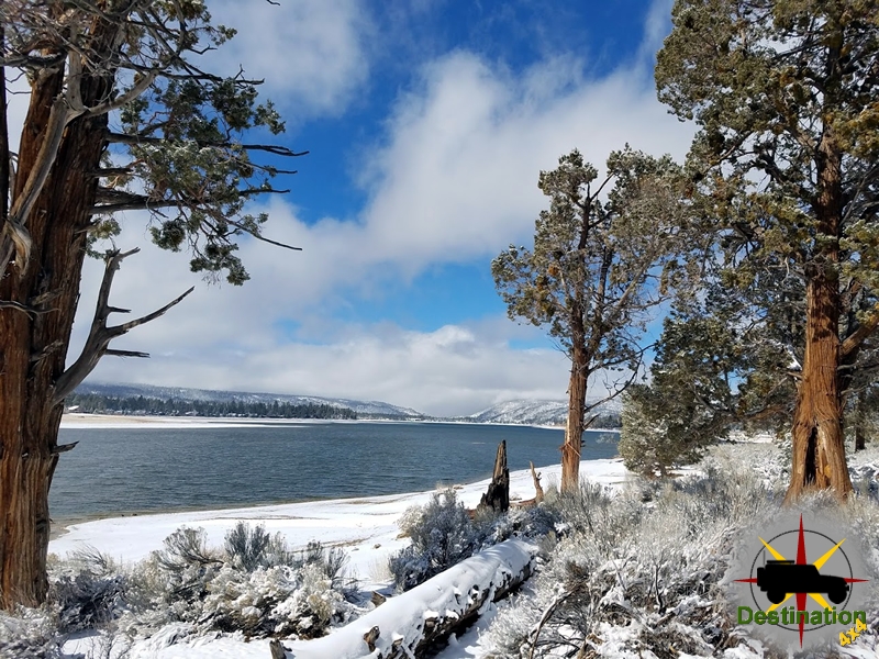
Big Bear, CA
I quiet mountain community full of back country adventure.
The Journey is the destination
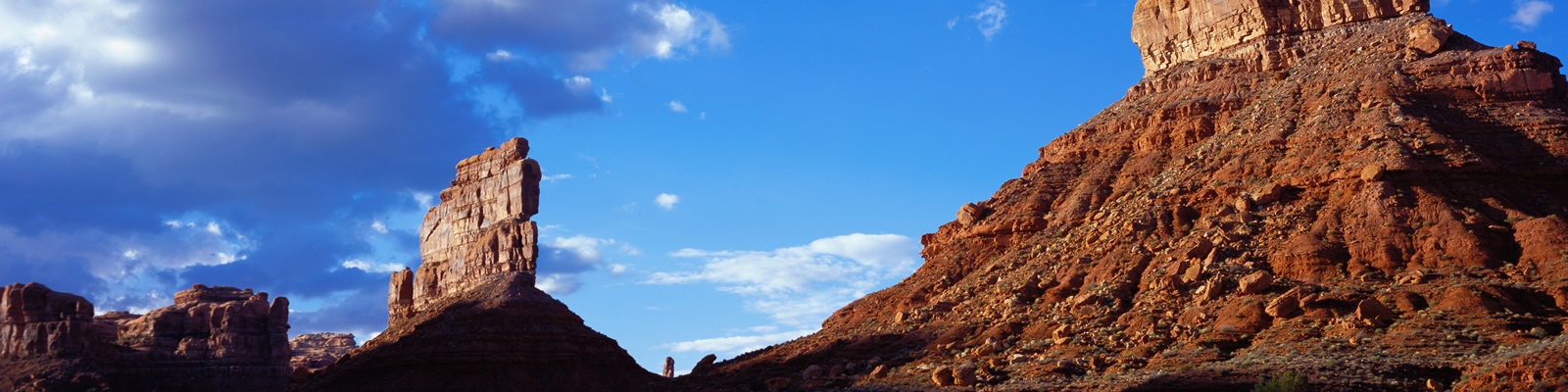
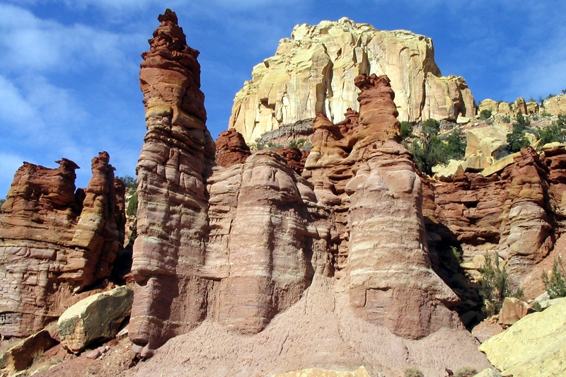
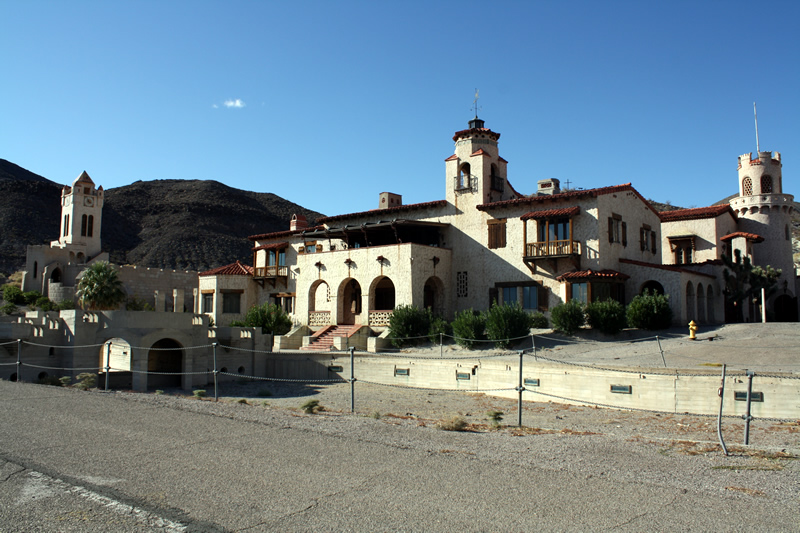

Texas Springs Campground is one of the more appealing developed campgrounds in Death Valley National Park, perched on a hillside just above the Furnace Creek area. It offers a quieter, more scenic alternative to the flatter, denser valley-floor options like Sunset or Furnace Creek, with sweeping views and a strict no-generator rule that keeps nights peaceful.
The campground sits in the hills above Furnace Creek at roughly sea level (around –32 ft / –10 m in some reports). From the upper loop you get elevated views across the valley floor toward the Black Mountains and distant Panamint Range, plus golden light on the surrounding mudstone hills and badlands at sunrise and sunset. The landscape is classic Death Valley—sparse vegetation of tamarisk and other desert plants, rocky/gravel pads, and open desert. Lower sites offer a bit more protection and some shade trees; upper sites feel more exposed and panoramic. It’s a short drive (or walkable distance for some) from the Furnace Creek Visitor Center, The Oasis at Death Valley (formerly Furnace Creek Ranch/Inn), and major attractions such as Zabriskie Point, Artist’s Palette, and Badwater Basin.
Fee: $20 per night (increased from $16 in 2024; half-price with Senior or Access pass). Separate park entrance fee applies ($30 per vehicle for 7 days). Pay at onsite automated stations (credit/debit). First-come, first-served only—no reservations.
Texas Springs is open seasonally, typically from mid-to-late October (or November) through mid-April, closing for the extreme summer heat when valley temperatures routinely exceed 100–120°F even at night.
Overall vibe and tips: Campers consistently praise the quieter atmosphere (thanks to the generator ban), the hillside setting with better views than the parking-lot feel of nearby Sunset, and the convenient base for exploring central Death Valley highlights. Sites can feel close together with limited privacy and shade, and the ground is rocky, so sturdy tent stakes help. It pairs well with a stop at the visitor center for maps, water, and supplies. Check the NPS Alerts & Conditions page before travel, as exact open/close dates and water availability can shift slightly year to year. If you value quiet nights, decent facilities, and elevated desert views without needing full RV hookups, Texas Springs is one of the stronger choices in the park.
| Name | Texas Springs Campground |
| Location | Furnace Creek, Death Valley, California |
| Latitude, Longitude | 36.459830, -116.856782 |
| Elevation | -87 feet below sea level |
| Number of Sites | 92 Total 26 Tent Only |
| Amenities | Water, flush toilets, picnic tables, a dump station and fire pits. |
Sunset Campground is Death Valley National Park’s large, no-frills overflow campground near Furnace Creek. It is essentially a big, open gravel/dirt lot with marked sites—practical and convenient rather than scenic or private—and serves mainly as a reliable, affordable base for exploring the park.

Sunset Campground is Death Valley National Park’s large, no-frills overflow campground near Furnace Creek. It is essentially a big, open gravel/dirt lot with marked sites—practical and convenient rather than scenic or private—and serves mainly as a reliable, affordable base for exploring the park.
Located on the valley floor just across from the Timbisha Shoshone village and very close to the Furnace Creek Visitor Center, Ranch/Oasis area (store, restaurants, ice cream), and other services, the campground sits at roughly –150 to –190 feet elevation—one of the lowest developed camping spots in North America.
The setting is classic lower Death Valley: flat desert gravel with almost no vegetation or shade, open views of the surrounding mountain ranges (especially good sunset light on the Panamints), and vast dark night skies. Wind is common, and the open layout means little privacy or protection from the elements. It feels more like a large parking area than a traditional wooded campground, which is exactly what you should expect at this elevation.
It is better suited to RVers and those treating the campsite mainly as a place to sleep than to tent campers seeking shade, privacy, or a classic camping atmosphere. Texas Springs (nearby, up the hill) is often preferred when available for a more natural feel.
Sunset is seasonal, typically open from mid-to-late October through mid-April (exact dates can vary slightly; it closes when summer heat arrives).
Tips: Arrive earlier in the day on busy winter weekends/holidays if you want a perimeter site with better views and less generator noise. Bring everything you need for self-contained camping (table, stove with windscreen, water containers if desired). Cell service is limited/variable; treat the location as a practical hub for day trips to Badwater Basin, Artist’s Palette, Zabriskie Point, Golden Canyon, and other nearby highlights.
Overall, Sunset Campground is not the prettiest or most amenity-rich option in Death Valley, but it is one of the most dependable and centrally located for winter visitors who prioritize access and availability over atmosphere.
| Name | Sunset Campground |
| Location | Furnace Creek, Death Valley National Park, California |
| Latitude, Longitude | 36.461059, -116.863386 |
| Elevation | -160 feet below sea level |
| Sites | 230 |
| Amenities | Dump station, flush toilets, water availale |
Stovepipe Wells Campground is a large, no-frills National Park Service campground in the heart of Death Valley National Park, California. It offers a practical, centrally located base for exploring the park’s iconic desert landscapes, especially the nearby Mesquite Flat Sand Dunes and Mosaic Canyon. Expect a straightforward, exposed desert camping experience rather than a secluded or luxurious one.

The campground sits at roughly sea level (about –10 to +10 feet / –3 to +3 m elevation) along California Highway 190 in the central part of the park, roughly 24 miles (39 km) west of Furnace Creek. It occupies a broad, flat, open stretch of the valley floor with sweeping views of the surrounding mountains—including the Cottonwood Mountains to the west and Tucki Mountain to the south—and the famous Mesquite Flat Sand Dunes just a couple of miles north.
The setting is classic Death Valley: arid, sparsely vegetated desert with sparse scrub, gravel, and sand under vast, often cloudless skies. There is essentially no natural shade or privacy among the sites. After dark, the location benefits from Death Valley’s International Dark Sky Park status, delivering excellent stargazing. The surrounding terrain includes wind-sculpted dunes, polished marble canyons, and distant colorful badlands and salt flats reachable by short drives.
The overall feel is more “functional desert parking lot with basic services” than a traditional wooded campground—convenient and affordable, but exposed to wind, sun, and other campers.
Late fall through early spring (roughly mid-to-late October through mid-April) is ideal and when the campground is typically open. Daytime highs are usually in the 60s–70s °F (comfortable for hiking and exploring), with nights in the 30s–50s °F. Winter (November–February) is peak season for mild weather and fewer extreme heat risks.
Spring (especially late March–early April after a wet winter) can bring impressive wildflower displays. Fall (October–November) offers pleasant temperatures as the intense summer heat begins to ease, though early October can still be hot.
Avoid summer (mid-April through mid-October). The campground closes due to extreme heat—daytime temperatures regularly exceed 110–120 °F (and can reach well above that), with nights that often stay uncomfortably warm. Lower-elevation camping becomes unsafe and unpleasant.
Arrive early in the day during peak season (especially weekends and holidays) because sites fill on a first-come, first-served basis. Always check current NPS alerts for exact opening/closing dates, road conditions, and water availability, as these can vary with weather and maintenance.
Overall verdict: Stovepipe Wells Campground is an excellent, no-nonsense base if you want quick access to the sand dunes, central park attractions, and basic services without driving far every day. It’s best for RVers and vehicle campers who prioritize location and convenience over privacy or shade. Tent campers should be prepared for full sun and wind exposure. Pair it with early-morning dune walks, Mosaic Canyon hikes, and evening stargazing for a classic Death Valley experience.
| Name | Stovepipe Wells Campground |
| Location | Stovepipe Wells, Death Valley, California |
| Latitude, Longitude | 36.60611, -117.14556 |
| Elevation | -23 feet below sea level |
| Sites | 190 Total 28 Tent only |
| Amenities | Water, Fire Rings, Tables |
Eureka Dunes Campground (Primitive) is a remote, no-frills outpost at the base of California’s tallest sand dunes in the far northwestern corner of Death Valley National Park. It delivers solitude, dramatic scenery, and exceptional dark skies for those willing to drive rough roads and fully self-sufficient.
The campground sits at about 2,880 feet elevation in Eureka Valley, an isolated enclosed basin northwest of the main Death Valley floor. The Eureka Dunes themselves rise more than 680 feet above the dry lakebed—among the tallest in California and possibly North America—spanning roughly 3 miles long by 1 mile wide. They form a pale mountain of sand against the rugged, color-banded limestone walls of the Last Chance Mountains, which tower another 4,000 feet above the valley. The setting feels otherworldly: golden, wind-sculpted dunes framed by stark desert mountains under vast, empty skies. The area is a true “island in the desert,” home to endemic plants found nowhere else (including the endangered Eureka dunegrass, Eureka evening primrose, and shining milkvetch). Under the right dry conditions the dunes can “sing,” producing a deep bass-like or organ-pipe hum as sand avalanches.
Access requires high-clearance vehicles (4WD recommended, especially after weather). From the park’s Scotty’s Castle Road / Ubehebe area it’s a long graded dirt route; from Big Pine on US 395 it’s roughly 28 miles paved then 21+ miles dirt, with the final ~10 miles on South Eureka Valley Road often washboarded, rutted, and sandy. RVs and trailers are generally not advised.
This is a true primitive campground with seven first-come, first-served sites (no reservations, no camping fee beyond the park entrance fee).
What you will not find: water, electricity, showers, trash service, dump station, or cell service. Pack in all water and supplies and pack out all trash. Fires are allowed only in the provided rings; propane stoves are fine. Pets are generally allowed but keep them leashed and off the sensitive dunes. Sandboarding and driving on the dunes are prohibited to protect the fragile endemic species.
Open year-round, but summer (roughly June–August) is strongly discouraged—daytime temperatures frequently exceed 100°F and the exposed valley offers little shade or relief.
Ideal seasons are spring (March–May) and fall (September–November), when daytime highs are typically in the 60s–80s°F and nights are cool and clear—perfect for hiking the dunes and stargazing. Winter can be excellent for solitude and dark skies (nights get cold; bring warm gear), though roads may be affected by weather. Weekdays are quieter than weekends. Always check current road conditions and weather with the park (760-786-3200) before committing to the long dirt drive.
Overall verdict: Eureka Dunes Campground ranks among Death Valley’s most memorable remote experiences for self-reliant campers who prize solitude, night skies, and unique geology over comfort. The payoff—waking up at the foot of towering golden dunes with almost no one else around—is outstanding. Come prepared, tread lightly on the fragile ecosystem, and the isolation becomes the highlight rather than a drawback.
| Campground Name | Eureka Dunes Dry Camp |
| Location | Death Valley National Park, California |
| Latitude, Longitude | 37.111773, -117.680898 |
| Elevation | 2890 |
| Number of Sites | 4 |
| Amenities | Restrooms, tables |
Thorndike Campground is a small, free, first-come, first-served primitive campground in Death Valley National Park’s Panamint Mountains. It offers a quiet, forested high-elevation escape from the extreme heat of the valley floor.
Thorndike sits at about 7,400 feet (2,250 m) elevation among pinyon pine and juniper trees. This creates a cooler, shadier, more alpine feel than the typical Death Valley landscape far below. The surrounding terrain is rugged and mountainous, with sandy sites in places and views into the surrounding peaks and canyons. Temperatures here are often 20–30°F cooler than the valley floor, making it a genuine refuge during warmer months.
Access requires a high-clearance vehicle (maximum recommended length ~25 feet); 4WD is often needed, especially on the final stretch of rough dirt road beyond the Charcoal Kilns. The campground is remote—roughly 50–60+ miles and 1.5–2 hours from Furnace Creek or Stovepipe Wells depending on the route.
This is true primitive camping with minimal facilities:
You must bring all water (nearest sources are many miles away—Emigrant area or Stovepipe Wells) and your own firewood (gathering is prohibited). Wood fires are allowed only in provided NPS pits and are banned during high fire danger periods (typically mid-June to mid-September). Quiet hours are 10 pm–7 am; max 8 people and limited vehicles per site; 30-day stay limit.
The campground is typically open mid-April through December, weather and snow permitting. It can remain snowy or icy into late spring, and winter access is often impossible or closed.
Always check current road and weather conditions with the National Park Service before going, as high-elevation conditions change quickly.
Thorndike makes an excellent base for high-country exploration:
Overall impression: Thorndike is ideal for self-sufficient campers seeking solitude, cooler temperatures, and a forested mountain setting within Death Valley. It is not for those needing amenities, large RVs, or easy access. The combination of free camping, shade from pinyon and juniper, and proximity to the Charcoal Kilns and Telescope Peak trail makes it a standout high-elevation option when conditions allow. Pack thoroughly, drive carefully, and enjoy the quiet.
| Name | Thorndike Campground |
| Location | Panamint Mountains, Death Valley National Park, California |
| Latitude, Longitude | 36.236893, -117.071446 |
| Elevation | 7400 feet |
| Site | 6 |
| Amenities | Tables, Fireplaces, and vault toilets. |