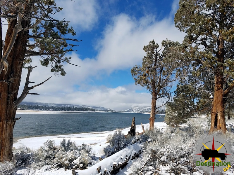
Big Bear, CA
I quiet mountain community full of back country adventure.
The Journey is the destination
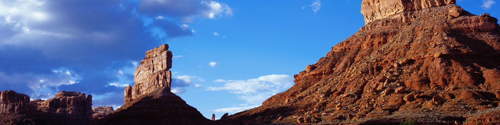
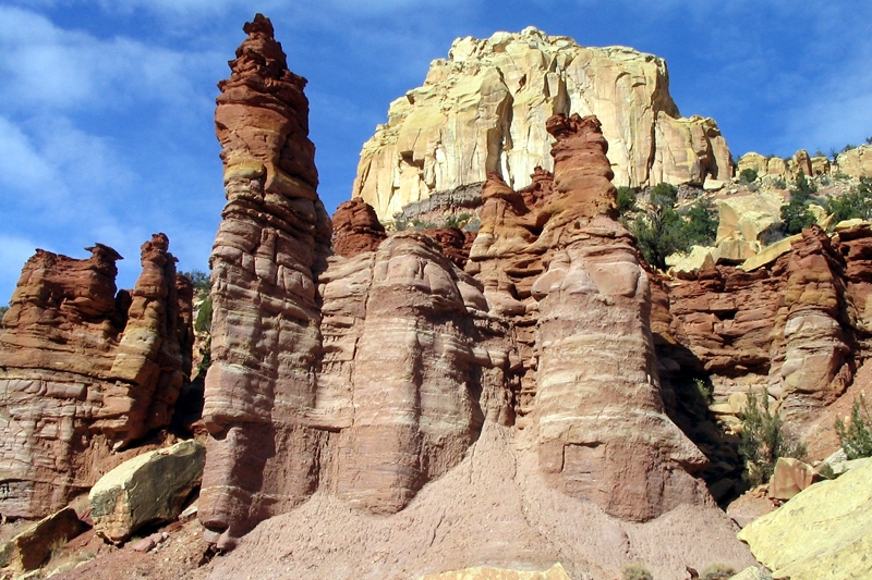
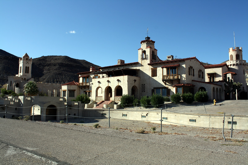
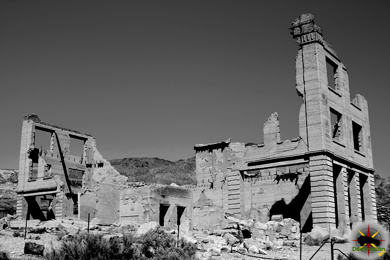

The Fish Canyon Escape Trail is a route discovered by William Manly as an escape route from Death Valley in 1849. The group tried to navigate the hot and dry Mojave desert with hand drawn maps, which supposedly showed short cuts across the desert. After being lost of months in the wilderness of Death Valley, William Manly and a group of emigrants headed to California. William Mandy set off and finally discovered a route out of Death Valley.
William Many was like many man of the era. He made his living as a guide, fur hunter, farmer and later in life a writer. In 1849, he followed thousands of other young men and travelled to California to join the Gold Rush. He was 29 years old at the time.
Near Provo Utah he joined other travels to cross the great basin to Southern California. In December, the group became lost following the inaccurate maps which they brought with them. For three weeks they struggled in Death Valley. With food supplies depeleted. Manly and John Haney Rogers walked the Mojave for 250 miles, finally reaching Rancho San Fernando.
On his return with food and horses, he discovered that only two families, the Bennett and Arcane, survived his absence. This trail is part of his route.
The trail is mildly rocky and suitable for most SUV’s
Bitter Springs is a 28 miles back country road which connects I-15 to the North shore Road highway 167 located inside Lake Mead National Recreation Area near Echo Bay. The trail takes you by old mining roads and washes throughout the Muddy Mountains.
To reach the trail head, head North on the I-15 from Las Vegas. Exit the Valley of Fire offramp (exit 75), and turn right towards the state park, Valley of Fire. There is a lot of excellent camping in Valley of Fire.
Unless you have a need for fireworks or booze, proceed past the Moapa Indian Reservation store. After three miles the paved road bends left. The trail is the dirt road heading straight into the dessert towards the mountains.
Once you hit the Muddy Mountains, you will be greeted with large red rock out cropping. Keep on eye out on the right side of the tail for a small damn and water hole. Should you visit at the correct time, you will see tadpoles and frogs in the water.
As you proceed into and through the muddy mountains, there are numerous places to stop and picnic or camp. There is a small quarry that sits on the trail, so be sure to travel carefully if there are workers.
Once you are through the pass, the trail gradually follows the alluvial fan into a drainage. Once in the drainage section, the trails turns into pure sand. Be sure to check the weather when travelling this portion of the trail and keep an eye open for Big Horn sheep and wild horses.
Wildrose Campground is located at 4100 feet above sea level in the Paramint Mountains within Death Valley National Park. This semi-primative campground is located off of the migrant Canyon Road. This free campground is open all year and sites ar Wildrose Campground is a free, first-come, first-served primitive campground in Death Valley National Park that delivers a quieter, cooler, and more remote experience than the busy valley-floor sites.

Wildrose sits at about 4,100 feet (1,250 meters) in the Panamint Mountains on the western side of the park, along Emigrant Canyon Road (also called Wildrose Road). The landscape features dirt-and-gravel sites scattered among mesquite bushes and rolling desert hills, with open views toward surrounding ridges. It feels distinctly higher and more mountainous than the famous low-elevation spots near Furnace Creek or Stovepipe Wells.
Access is via Emigrant Canyon Road off CA-190. The drive involves significant elevation gain and winding sections; total vehicle length (including trailer) is restricted to 25 feet. The campground makes an excellent base for the historic Wildrose Charcoal Kilns a few miles farther up the road and the trailheads for Wildrose Peak and Telescope Peak. Nearest services (fuel, water, supplies) are roughly 30–45 minutes away at Stovepipe Wells or Panamint Springs. Cell service is essentially nonexistent.
What it lacks: Potable water (official NPS guidance currently states none is available in the Wildrose area—bring all you need; nearest reliable source is about 31 miles north at Stovepipe Wells), hookups of any kind, showers, dump station, and shade trees. Fires are allowed only in the provided grates and are typically prohibited June 15–September 15 (or during high fire danger). Ground can be hard and rocky, and the area is often windy.
Wildrose is open year-round and is one of the better options for beating Death Valley’s extreme heat because of its elevation.
Arrive early in the day (especially on weekends or holidays) because sites fill on a first-come basis and there are only 23 of them. The remote setting rewards those seeking solitude, exceptional dark-sky stargazing, and easy access to the charcoal kilns and higher-elevation trails. Bring sturdy tent stakes or weights for the wind, all your water, and a sense of adventure—this is classic Death Valley high-country camping at its simplest and most appealing.
| Name | Wildrose |
| Location | Death Valley National Park, California |
| Latitude, Longitude | 36.265848, -117.188184 |
| Sites | 23 |
| Elevation | 4100 feet |
| Amenities | Vault Toilets, Water, Firepits, Tables |

Mahogany Flat Campground is a free, primitive, high-elevation campground in Death Valley National Park that offers a striking contrast to the scorching desert floor below. Nestled at about 8,200 feet in a pinyon pine and juniper forest on a ridgeline of the Panamint Range, it provides shade, cooler temperatures (typically 30–35°F lower than the valley), and expansive views down into Death Valley.
It is one of the highest drive-to points in the park and sits right at the trailhead for Telescope Peak (the park’s highest summit at 11,049 feet). This is true off-grid, rugged camping suited to self-sufficient visitors who want solitude, mountain scenery, and access to high-country hiking rather than developed amenities.
This is a basic, no-frills campground with 9 first-come, first-served sites (some sources note up to 10). Each site generally has a picnic table and fire ring/pit. There is at least one vault/pit toilet (often described as clean and stocked when open), and seasonal trash collection.
What is not available:
Small RVs or trailers may fit (typical limits around 25 ft total length for RVs and 12 ft for trailers), but the rough access road and low-hanging branches make it best for tents, truck campers, or high-clearance vehicles. Pets are generally allowed with standard park restrictions. Quiet hours are 10 pm–7 am.
Bring everything you need—especially ample water—and practice Leave No Trace (pack out all trash if collection is not available).
Mahogany Flat sits on a forested ridgeline in the Panamint Mountains on the western side of Death Valley. The setting feels like a biological island: ancient pinyon pines and junipers (plus mountain mahogany) create a fragrant woodland high above the barren basin. Many sites offer direct or filtered views into Death Valley and, on clear days, farther toward Nevada or the Sierra Nevada. The landscape is rocky and sometimes gently sloping, with good shade but potential for tree sap. The elevation makes it dramatically cooler and more forested than anything on the valley floor.
Access requires a high-clearance vehicle and often 4WD, especially on the final steep, rocky, and sometimes rutted stretch beyond the Wildrose Charcoal Kilns (the last ~1–1.5 miles is notably rough). Low-hanging branches can limit taller vehicles. The road is frequently snow- or ice-impacted in winter and late spring.
Summer and fall are the prime seasons. The elevation makes it a welcome escape when the valley floor is extremely hot (daytime highs at Mahogany Flat are often in the 70s–80s°F range in summer, with cool nights). Fall typically offers the most comfortable hiking and camping weather (daytime highs in the 50s–60s°F, cold nights).
Spring can work but may still have lingering snow/ice on the road and trails. Winter often sees the campground closed or inaccessible due to snow and ice. Always check current road and weather conditions via the National Park Service (nps.gov/deva) or the local forecast before heading up, as mountain weather changes quickly.
Crowds are generally light due to the remote access and limited sites; the area can fill on holiday weekends or peak summer/fall periods for Telescope Peak hikers.
Farther afield (but still within reach for day trips or as part of a larger Death Valley itinerary) are classic valley-floor attractions such as Badwater Basin, Mesquite Flat Sand Dunes, and the Furnace Creek area, though the drive down takes time.
Overall impression: Mahogany Flat is ideal for experienced campers seeking cool mountain air, solitude, dramatic views, and a base for serious hiking in one of the most extreme landscapes in the country. It is not for those wanting convenience, water, or easy access. Come prepared, check conditions, and you’ll be rewarded with one of Death Valley’s most unique and memorable camping experiences. Always verify the latest status on the official NPS page before your trip, as road conditions and seasonal closures can change.
| Name | Mahogany Flat Campground |
| Location | Panamint Mountains, Death Valley National Park, California |
| Latitude, Longitude | 36.22996, -117.068193 |
| Sites | 10 |
| Elevation | 8200 feet |
| Amenities | Tables, Fire Pits, Vault Toilets, NO Water |
Emigrant Campground (Death Valley National Park) is a small, free, tent-only campground at about 2,100 feet elevation along CA-190, roughly 10 miles southwest of Stovepipe Wells (about 40 minutes from the Furnace Creek Visitor Center). It sits at the junction with Emigrant Canyon Road and overlooks the Cottonwood Mountains (part of the Panamint Range).

Important current status: The campground, water system, and restrooms have been closed indefinitely since late August 2025 due to substantial flood damage to a 5-mile water pipeline. There is no estimated repair date. Nearest facilities are at Stovepipe Wells. Always check the official NPS site or alerts before planning a trip.
Emigrant sits in the foothills on the western side of the park rather than the extreme valley floor. The setting is classic high-desert: rocky/gravel sites with minimal vegetation and almost no shade, arranged in a compact gravel area just off the highway. You get open, panoramic views of the layered Cottonwood Mountains and surrounding desert landscapes. The higher elevation (vs. Furnace Creek or Badwater) means it is typically several degrees cooler than the valley floor. Night skies are excellent for stargazing thanks to very low light pollution. Highway noise is possible because the sites are close to CA-190.
Sites are basic and exposed—expect hard, rocky ground that can make tent staking challenging. Bring everything you need; this is primitive camping with only the essentials.
The campground is listed as year-round when open, but timing matters a lot in Death Valley:
Arrive early (especially on weekends or holidays) to secure one of the limited sites, as they fill on a first-come basis. Emigrant works well as a quiet, budget-friendly stop if you’re entering from the west or heading toward Emigrant Canyon / Wildrose / higher country.
Overall impression: When open, Emigrant is a no-frills, free tent campground that trades luxury for convenience, dark skies, and mountain views. It’s ideal for self-sufficient campers who want a simple base near the western side of the park without the crowds or fees of the main valley-floor campgrounds. Just confirm the current status before you go, as the 2025 flood damage has kept it closed.
| Name | Emigrant Campground |
| Location | Death Valley National Park, California |
| Latitude, Longitude | 36.496552556, -117.227519732 |
| Elevation | 2150 |
| Sites | 10 |
| Amenities | potable water, flushing toilets |