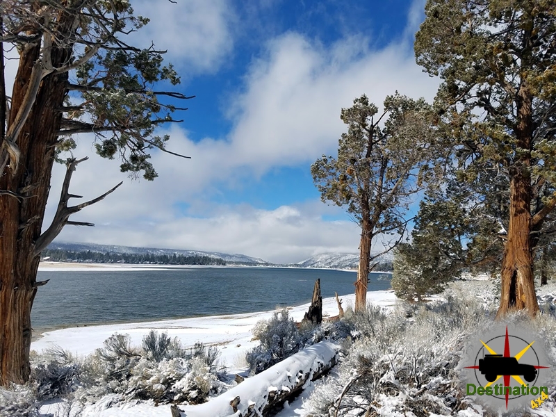
Big Bear, CA
I quiet mountain community full of back country adventure.
The Journey is the destination
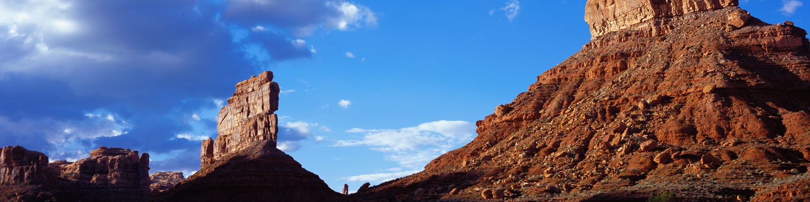
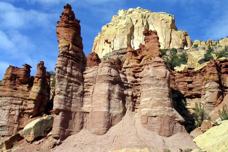
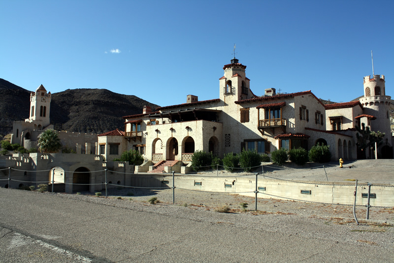
Nellis Cove Road short east trail from Lake Mead Powerline Road to Nellis Cove on the shore of Lake Mohave, Nevada. The route is fairly flat and easy, a suitable for almost any vehicles. However, you may wish to have some tires which are good in the sand. For those interested, overnight camping is allowed up to 15 days.
Lake Mojave is a wonderful destination to visit during the summer months. The waters of the Lake are cool in temperature and offers a great chance to swim, relax and cool down from the scorching sun of the Mojave. I can speak first hand, that a cold beer in the shade while soaking your feet in the cool water is a wonderful thing.
The beaches of Lake Mohave vary in size depending on the water output of the Hoover and Davis Dams. They beach is built up from sand and decomposing rocks, so beach shoes would be recommended. Nellis Cove camping is large enough to allow 4 – 5 campsites. This is a dry camp site in a desert, so although there is a lake, please be sure to bring plenty of water.
| Name | Nellis Coe |
| Location | Lake Mohave, Clark County, Nevada |
| Latitude, Longitude | 35.403584, -114.659445 |
| Elevation | 655 feet |
| Sites | 4 – 5 |
| Amenities | Vault Toilets |
Sandy Wash is a short trail which leads from the Mead Davis Power Line road down to the shore of Lake Mojave, Nevada. We opted to drive Empire Wash off the 95 and turn left of Mead Davis Power Line Road and the right down Sandy Wash.

The small beach at the end of the trail offers a wonderful location, to picnic, camp, or jump into Lake Mojave to cool off with a swim. The beach is surrounded with Tamarisk bushes and willows to offer some privacy and the true feeling of being in a remove spot. The rocky beach is located in a small cove, and there is a small arch just at the water line. On the day we did the trail, the air was rather hot, but a monsoon blew in while we swam and enjoyed and very cold beer.

The road for the most part is very easy by 4×4 standards and should be passable by most vehicles. This is true with the exception of the last 100 feet of the trail which contains a water crossing about 30 inches deep and 100 feet long.

The two approaches to the trail head are from Mead Davis Power line road, or the much more scenic Empire wash.
Empire wash is a short cut from Cal Nev Ari to the Lake Mead Davis Powerline road through a narrow canyon. This offers great access to several of the wash roads which take you down to Lake Mojave by connecting to the southern end of the Lake Mead Power Line road. A easy and fun trail which leads you to better destinations.

Just off the pavement, we opted to air down the jeeps to bring some comfort to this long road. We did not need any more traction, we just opted to float across the desert. Empire wash runs through the mountains in the distance.

Once you approach the mountains, a nice little sign reminds you that this can be rough county. From the looks of the sign, there is quite a bit of evidence of flooding from the level of sand piled around the base of the sign.

The road and canyon twist and turn through the mountains. This was a lot of fun to drive. Although overcast on our trip, we looked forward to swimming in Lake Mojave at the end of the next trail. On this day, we chose Sandy Wash.

This scenic backcountry adventure takes you down Burro Wash into the depths of Black Canyon below Hoover Dam by the only route possible on the Nevada side of the Colorado River. The route offers a jeeper access to the Colorado River below the damn in the Lake Mead National Recreational area.

This is a legitimate and open 4×4 trail that will take you down some rocky descents, sandy washes and over a few minor but fun rock obstacles right before reaching the river. This trail should not be taken lightly but for the most part is stock friendly for 4 wheel drive vehicles equipped with low range gears and all-terrain tires. This is an out-and-back trail meaning you will head back the same way you came in. Down by the river would be an excellent spot to stop and have lunch so bring your lawn chairs and a camera and have some fun!

Burro Wash was the first 4×4 trail that I ran with the Black Jeep. My wife and I purchased it just a few weeks before and it seemed natural to exercise the 4×4 a bit. The 28 inch street tires left much to be desired and the lower ground clearance made this reasonable easy trail more challenging for a rookie driver.
| Name | Burro Wash Trail |
| Location | Lake Mead National Recreation Area, Clark County, Neada |
| Latitude, Longitude | |
| Length | 12 miles |
| Elevation Gain | – 1200 Feet |
| Difficulty | Easy |
Sugarpine Mountain trail is moderately difficult and starts at the edge of San Bernardino and finishes in the Silverlake State Park. The trail is designated for street legal vehicles only.

The trail leaves the little community around Silver Lake, skits Cleghorn Mountain and then slowly meanders up to Sugarpine Mountain. The scenic trail passes through a variety of chaparral, tall pine trees, forest vegetation and spring wild flowers. High-clearance 4WD is recommended but any high-clearance vehicle is acceptable. The trail looses about 4300 in elevation over its 16 miles. This trail is typically open year round, however, during the winter months conditions could worsen due to the snow loads.
A Forest Service Adventure Passes are required if you plan on stopping along the way. As of September 2016, forest visitors parked in standard amenity recreation fee sites in the four southern California national forests must display a valid recreation pass. This includes sites on the Angeles, Cleveland, Los Padres and San Bernardino National Forests. Such is the once great state of California.
| Trail Name | Sugarpine Mountain 2N49 |
| Location | Big Bear, San Bernardino, California |
| Distance | 16 Miles |
| Elevation Gain | 4300 Feet |
| Difficulty | Moderate |