Hanaupah Canyon Road, situated in the southern Panamint Range within Death Valley National Park, is a rugged backcountry route that serves as both a 4×4 road and a hiking trail. This remote path offers adventurers a chance to explore a dramatic canyon with steep walls, alluvial fans, and potential wildlife sightings like bighorn sheep or kit foxes. It’s less visited than popular spots like Badwater Basin, providing solitude amid stark desert landscapes. The road starts from West Side Road and ascends into the canyon, passing mining relics and leading toward Hanaupah Spring in the South Fork. Beyond the spring, experienced hikers can continue cross-country to Telescope Peak, the park’s highest point at 11,049 feet, though that’s a grueling extension. Suitable for day hikes, backpacking, or off-road driving with proper vehicles, but preparation is essential due to extreme conditions and isolation.
Key Trail Statistics
| Aspect | Details |
|---|---|
| Length | Full out-and-back: 18.7 miles; shorter options: 6 miles round-trip to Hanaupah Spring (3 miles one-way); extended to Telescope Peak: ~30 miles round-trip with off-trail sections. |
| Elevation Gain | ~2,200 feet to the spring (starting ~200 feet below sea level); up to 11,600 feet if continuing to Telescope Peak. |
| Difficulty | Moderately strenuous for the road to spring; challenging to strenuous for full hikes due to rocky terrain, steep grades, and loose gravel. High-clearance 4×4 required for driving; hiking recommended beyond initial miles to avoid vehicle issues. |
| Time Required | 3-5 hours round-trip to spring; 8-10 hours for full road out-and-back; multi-day for Telescope Peak extension. |
| Best Time to Visit | October to April to evade deadly summer heat (over 120°F possible); avoid monsoon season (July-September) for flash flood risks. |
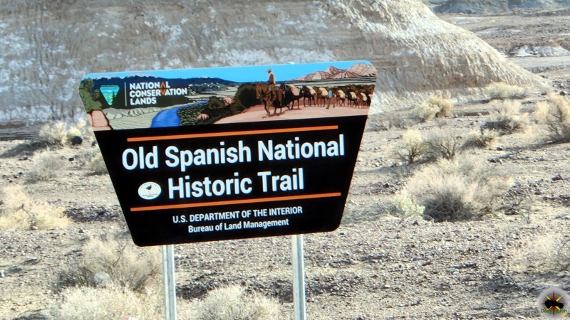
| Access | Junction off West Side Road (via Badwater Road). Unmarked—use GPS or park maps. No day-use permit needed; free backcountry permits required for overnight (obtain at visitor centers or online). Dispersed camping allowed 1 mile from West Side Road. |
| Water and Amenities | No reliable water except at Hanaupah Spring (treat before drinking); carry 1+ gallon per person per day. No facilities; nearest at Furnace Creek (~25 miles away). |
Trail Map
What to Expect on the Hike
The route begins on a gravelly, washboard road from West Side Road, traversable by high-clearance vehicles for the first few miles before becoming too rough and eroded for most. Hikers follow the old mining road through a wide wash, encountering boulder fields, narrow sections, and occasional steep climbs. The scenery showcases colorful rock layers from ancient geologic processes, vast valley views, and the massive Hanaupah alluvial fan. About 3 miles in, the South Fork leads to Hanaupah Spring, a lush oasis with cottonwoods and year-round water— a stark contrast to the arid surroundings. Remnants of historic mining, like Shorty Borden’s cabin and adits, add intrigue (detailed in history below).
For the ambitious, beyond the spring, the path fades into cross-country travel up steep ridges to Telescope Peak, offering panoramic vistas but demanding navigation skills and endurance. Flash floods can reshape the canyon, creating obstacles like deep sand or washouts. Wildlife is sparse but possible; watch for rattlesnakes. The trail’s remoteness means self-reliance is key—bring navigation tools, as cell service is absent.
Current Conditions (as of August 2025)
Hanaupah Canyon Road is open and accessible for hiking and 4×4 travel, following repairs after 2023-2024 storm damage to West Side Road and surrounding areas. Recent hiker reports from early August 2025 indicate good conditions on the lower road, with some rutted sections and loose rocks but no major blockages. West Side Road is fully open, though sandy spots near the southern end may challenge vehicles. Flash flood risks remain during summer storms, and extreme heat persists—temperatures hit 84°F in mid-August. Check the NPS website or Furnace Creek Visitor Center for real-time updates, as conditions can shift quickly. Tire damage is common on approach roads; carry spares and emergency supplies.
This low-traffic route is perfect for those craving desert isolation, but always hike with a buddy and share your itinerary.
History of the Region
History of Hanaupah Canyon
Hanaupah Canyon’s history centers on mining, mirroring Death Valley’s resource-driven past. Silver ore was first discovered in 1889 by W.C. Morton on Telescope Peak’s northeast slope, in a timbered canyon with a strong stream—likely Hanaupah’s South Fork—yielding samples up to $1,000 per ton. Early claims like the Gold Hill Quartz Mine (located 1889) focused on silver-lead deposits, but remote access and high costs limited development.
The canyon’s most notable figure was Alexander “Shorty” Borden, who arrived in the late 1920s seeking fortune. In 1932, at age 66, Shorty filed claims after finding silver ore and single-handedly built a 3-mile road into the canyon using dynamite and a mule team. He constructed a stone cabin near Hanaupah Spring and mined sporadically until the 1940s, producing minor silver yields amid the Great Depression. Shorty envisioned a tourist camp, but a devastating flash flood in 1941 destroyed much of his work, including roads and equipment. Post-flood, activity waned, though the area saw brief tungsten interest during World War II. Today, Shorty’s mine ruins—cabins, tunnels, and artifacts—remain as preserved historical sites, offering glimpses into solitary desert prospecting.
Geologically, the canyon’s springs and faults highlight ancient tectonic activity, with the alluvial fan evidencing millennia of erosion from the Panamints.
Broader History of Death Valley National Park
Death Valley’s story begins with Indigenous peoples, particularly the Timbisha Shoshone, who have lived here for over 1,000 years, adapting to the extremes through seasonal migrations, hunting, and gathering mesquite and pinyon. European-American history ignited in 1849 when the “Lost ’49ers”—gold rush pioneers from Utah—became stranded while seeking a shortcut to California. Their ordeal, marked by one death and tales of hardship, coined the name “Death Valley” as they escaped via Wingate Pass.
Mining booms followed: borax in the 1880s (iconic 20-mule teams), gold and silver in the 1900s (ghost towns like Rhyolite), and later talc, lead, and tungsten. Tourism grew in the 1920s with resorts like Furnace Creek. In 1933, President Herbert Hoover designated it a national monument to curb destructive mining, with the Civilian Conservation Corps building infrastructure in the 1930s. Expanded under the 1994 California Desert Protection Act, it became the largest national park in the contiguous U.S. at 3.4 million acres.
Now, it attracts over a million visitors yearly for its records—like the hottest temperature (134°F in 1913) and lowest point (-282 feet at Badwater)—while facing challenges like climate change and flood recovery.