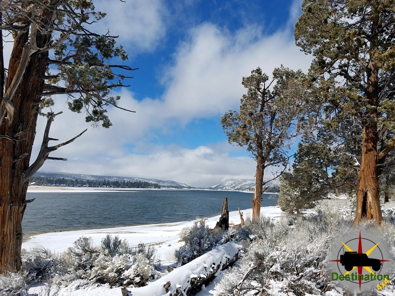
Big Bear, CA
I quiet mountain community full of back country adventure.
The Journey is the destination
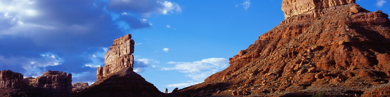
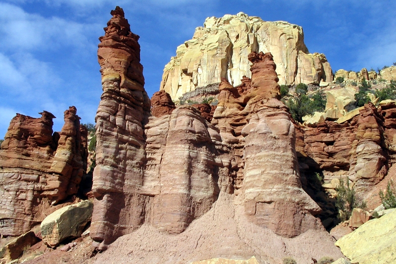
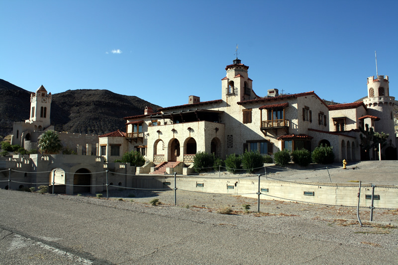
Stovepipe Wells Campgound is located in Stovepipe wells just off the 190 highway in Death Valley National Park. Located about 25 miles away from Furnace Creek, Stovepipe wells contains a restaurant, gas station, gift shop and reasonable nice amenities for the area.

The campground itself is more suitable for RV and Trails and has the feeling of a large parking lot, which does not offer much in a remote camping experience. However, it does contain some tent sites along the northern edge of the campsite. For tent campers, the campsites leave much to be desired, in my opinion. I prefer not to be surrounded by a sea of land yachts running generators.
The tent sites are the only locations which allow fires and since you are on the edge of the campground you can get the feeling of isolation provided you are looking North. High winds and sandstorms at night are frequent. On my last visit a powerful wind guest hit while I was returning from the restroom. I was greeted with the sight of a tent flying at a high rate of speed with about 100 feet in altitude above the desert floor. Several minutes later a camper came walking by, and when asked I told him “It went that away” pointing out into the desert.
There are some nice hikes nearby which include the local sand dunes, Mosaic Canyon, Nemo Canyon and Grotto Canyon.
Additionally, the Mesquite Flat Sand dunes located just to the east of the camp ground offers a nice area to explore, if the weather cooperates.
The gas in here is very expensive, and the only place I know you can get 85 octane fuel. It is cheaper than the gas prices at Furnace Creek.
| Name | Stovepipe Wells Campground |
| Location | Stovepipe Wells, Death Valley, California |
| Latitude, Longitude | 36.60611, -117.14556 |
| Elevation | -23 feet below sea level |
| Sites | 190 Total 28 Tent only |
| Amenities | Water, Fire Rings, Tables |

Eureka Dunes Campground is near a small localize sand dunes formation with Death Valley National Monument. Eureka Dunes Dry Camp is located next to the Eureka Sand Dunes in the Eureka Valley.
The valley is is an enclosed basin locationed at about 3000 feet above sea leval. The sand dunes in this remote valley in the north western portion of Death Valley are the tallest dunes in California. Some of the dunes measured are almost 700 feet tall above the valley floor. The dunes themselves are contained in a relatively small 3 square miles.
At first glance, these islands of sand within Eureka Valley appear inhospitable to life. This however is not the case. These dunes receive the most rainfall of any within Death Valley due to their location within the park.
Due to the extreme isolation there are five known types of endemic beetles which make their home in the sand. Three plant species, Eureka Dunegrass ( Swallenia alexandrae ), Eureka Dunes Evening Primrose ( Oenothera avita eurekensis ) and Shining Milkvetch ( Astragalus lentiginosus micans ) and known to only exist in this three mile by one mile island of sand.
With roughly four sites and only a vaulted toilet, Eureka Dunes campground offers solitude for the back country traveler.
| Campground Name | Eureka Dunes Dry Camp |
| Location | Death Valley National Park, California |
| Latitude, Longitude | 37.111773, -117.680898 |
| Elevation | 2890 |
| Number of Sites | 4 |
| Amenities | Restrooms, tables |
Thorndike campground is located at 7,400 feet in the Panamint Mountains in Death Valley National Park. The campground is accessible to high clearance vehicles only and no longer than 25 feet in length.. Depending on road conditions, 4-wheel drive may be necessary the reach the campground. The road becomes much steeper and rough once you pass the Wildrose Campground.

The campground is located within a Pinyon Pine and Juniper Forest. The campground is 1000 feet lower in elevation that Mahogany Flat campground and 4000 feet higher than Wildrose Campground. Due to its high elevation, this campground does close in the winter months.
This is the closest campground to the Death Valley Charcoal kilns. Thorndike has 6 sites, tables, fireplaces, and pit toilets. Thorndike is free of change campground, however, it does operate on a first come first serve basis.
Fires are allowed at NPS fire pits only. No firewood collecting is permitted; bring your own wood. Fires are prohibited June 15-September 15 and periods of high fire danger.
| Name | Thorndike Campground |
| Location | Panamint Mountains, Death Valley National Park, California |
| Latitude, Longitude | 36.236893, -117.071446 |
| Elevation | 7400 feet |
| Site | 6 |
| Amenities | Tables, Fireplaces, and vault toilets. |
Nellis Cove Road short east trail from Lake Mead Powerline Road to Nellis Cove on the shore of Lake Mohave, Nevada. The route is fairly flat and easy, a suitable for almost any vehicles. However, you may wish to have some tires which are good in the sand. For those interested, overnight camping is allowed up to 15 days.
Lake Mojave is a wonderful destination to visit during the summer months. The waters of the Lake are cool in temperature and offers a great chance to swim, relax and cool down from the scorching sun of the Mojave. I can speak first hand, that a cold beer in the shade while soaking your feet in the cool water is a wonderful thing.
The beaches of Lake Mohave vary in size depending on the water output of the Hoover and Davis Dams. They beach is built up from sand and decomposing rocks, so beach shoes would be recommended. Nellis Cove camping is large enough to allow 4 – 5 campsites. This is a dry camp site in a desert, so although there is a lake, please be sure to bring plenty of water.
| Name | Nellis Coe |
| Location | Lake Mohave, Clark County, Nevada |
| Latitude, Longitude | 35.403584, -114.659445 |
| Elevation | 655 feet |
| Sites | 4 – 5 |
| Amenities | Vault Toilets |
Sandy Wash is a short trail which leads from the Mead Davis Power Line road down to the shore of Lake Mojave, Nevada. We opted to drive Empire Wash off the 95 and turn left of Mead Davis Power Line Road and the right down Sandy Wash.

The small beach at the end of the trail offers a wonderful location, to picnic, camp, or jump into Lake Mojave to cool off with a swim. The beach is surrounded with Tamarisk bushes and willows to offer some privacy and the true feeling of being in a remove spot. The rocky beach is located in a small cove, and there is a small arch just at the water line. On the day we did the trail, the air was rather hot, but a monsoon blew in while we swam and enjoyed and very cold beer.

The road for the most part is very easy by 4×4 standards and should be passable by most vehicles. This is true with the exception of the last 100 feet of the trail which contains a water crossing about 30 inches deep and 100 feet long.

The two approaches to the trail head are from Mead Davis Power line road, or the much more scenic Empire wash.